Digital Imagery, Sonar Sector Scanning, Hyperspectral Imagery, Side Scan Sonar, Marine Geophysics, Thermal Imagery, Fixed Wing And Rotary Wing LiDAR, GIS Support Services, Multi-beam Bathymetry
Terra Remote Sensing Inc. is an internationally based Canadian remote sensing company with a background of 40 years of experience performing successful projects on five continents,...more...See more text
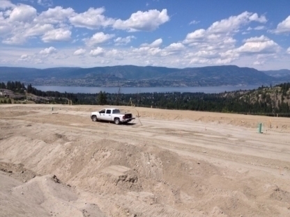
Static GPS Surveying, Non-tidal Bathymetric Surveying, Volumetric Surveying, Construction Surveying And Setting Out, Deformation And Settlement Monitoring, As-built Surveying, RTK GPS Surveying, Engineering Surveying, Site Plans For Development Permits, Creek And River Hydrographic Surveying
Okanagan Survey & Design is a team of technologists and technicians that provide a valuable service to the engineering, construction, land development and public sector. Our educat...more...See more text